Search Menu

Hourly Weather in Montalivet-les-Bains

This graph shows the temperature for the next 48 hours in Montalivet-les-Bains, displayed in degrees Celsius.

Hourly Temperature for the Next 48 Hours in Montalivet-les-Bains

Swipe Scroll to see all the days

Check out the 10-day weather forecast for Montalivet-les-Bains

Hourly Precipitation in Montalivet-les-Bains

This graph shows the precipitation for the next 48 hours in Montalivet-les-Bains, measured in millimetres.

A chart showing the hourly precipitation for the next 48 hours in Montalivet-les-Bains.

Swipe Scroll to see all the days

Hourly UV Index in Montalivet-les-Bains

This graph shows the UV index for the next 48 hours in Montalivet-les-Bains.

Hourly UV Index for the Next 48 Hours in Montalivet-les-Bains

Swipe Scroll to see all the days

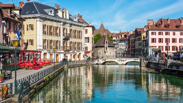
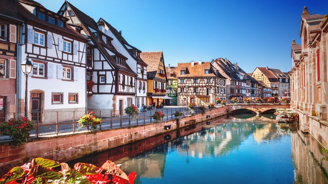
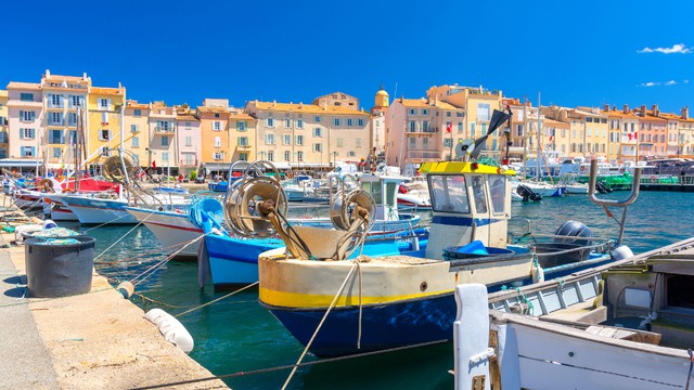
Popular destinations in France

Discover the climate of these popular destinations in France.

Saturday
weather
max/min
precip
wind
uv
06:00
partly-cloudy-night
21°
0,0 mm
W 4
0
07:00
partly-cloudy-day
21°
0,0 mm
W 4
0
08:00
partly-cloudy-day
21°
0,0 mm
W 4
1
09:00
rain
21°
0,3 mm
W 3
2
10:00
showers-day
21°
0,2 mm
W 3
4
11:00
showers-day
21°
0,2 mm
W 3
6
12:00
showers-day
21°
0,2 mm
W 3
7
13:00
partly-cloudy-day
21°
0,1 mm
ZW 3
8
14:00
partly-cloudy-day
21°
0,1 mm
W 3
9
15:00
cloudy
21°
0,1 mm
W 4
8
16:00
cloudy
21°
0,1 mm
W 4
7
17:00
cloudy
21°
0,0 mm
W 4
4
18:00
cloudy
21°
0,0 mm
W 4
4
19:00
cloudy
22°
0,0 mm
W 3
3
20:00
cloudy
21°
0,0 mm
ZW 3
2
21:00
cloudy
21°
0,0 mm
ZW 3
0
22:00
cloudy
21°
0,0 mm
Z 3
0
23:00
cloudy
22°
0,0 mm
Z 3
0
Sunday
weather
max/min
precip
wind
uv
00:00
cloudy
22°
0,0 mm
Z 4
0
01:00
cloudy
21°
0,0 mm
Z 4
0
02:00
rain
21°
0,2 mm
Z 4
0
03:00
rain
21°
1,9 mm
ZW 5
0
04:00
rain
21°
1,8 mm
ZW 5
0
05:00
rain
20°
2,5 mm
ZW 6
0
06:00
rain
20°
1,3 mm
ZW 5
0
07:00
showers-day
21°
2,2 mm
ZW 5
0
08:00
partly-cloudy-day
21°
0,0 mm
W 5
1
09:00
partly-cloudy-day
21°
0,0 mm
W 5
1
10:00
partly-cloudy-day
21°
0,0 mm
W 5
1
11:00
partly-cloudy-day
20°
0,0 mm
W 4
6
12:00
partly-cloudy-day
21°
0,0 mm
ZW 4
5
13:00
partly-cloudy-day
21°
0,1 mm
ZW 4
7
14:00
cloudy
21°
0,0 mm
ZW 5
7
15:00
cloudy
21°
0,0 mm
ZW 5
6
16:00
cloudy
21°
0,0 mm
ZW 5
9
17:00
partly-cloudy-day
21°
0,0 mm
ZW 5
8
18:00
partly-cloudy-day
21°
0,1 mm
ZW 5
6
19:00
partly-cloudy-day
21°
0,0 mm
ZW 5
5
20:00
partly-cloudy-day
21°
0,0 mm
ZW 5
3
21:00
partly-cloudy-day
20°
0,0 mm
ZW 5
1
22:00
partly-cloudy-night
21°
0,0 mm
ZW 5
0
23:00
partly-cloudy-night
20°
0,1 mm
ZW 6
0
Monday
weather
max/min
precip
wind
uv
00:00
partly-cloudy-night
20°
0,1 mm
ZW 6
0
01:00
showers-night
20°
0,2 mm
ZW 6
0
02:00
partly-cloudy-night
20°
0,0 mm
ZW 6
0
03:00
showers-night
20°
0,4 mm
ZW 6
0
04:00
rain
20°
1,9 mm
ZW 6
0
05:00
rain
20°
4,7 mm
ZW 6
0

Average Weather in Montalivet-les-Bains by Month

Click on a month below to see detailed weather info for Montalivet-les-Bains. Based on historical weather data, you can see the average temperature, precipitation, wind, and UV index for each day of the month.


Or check out the climate of Montalivet-les-Bains for all months at once

Terug naar boven