
Hourly Weather in Camisea
This graph shows the temperature for the next 48 hours in Camisea, displayed in degrees Celsius.
![]() Scroll to see all the days
Scroll to see all the days
Check out the 10-day weather forecast for Camisea
Hourly Precipitation in Camisea
This graph shows the precipitation for the next 48 hours in Camisea, measured in millimetres.
![]() Scroll to see all the days
Scroll to see all the days
Hourly UV Index in Camisea
This graph shows the UV index for the next 48 hours in Camisea.
![]() Scroll to see all the days
Scroll to see all the days
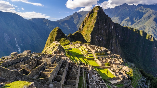
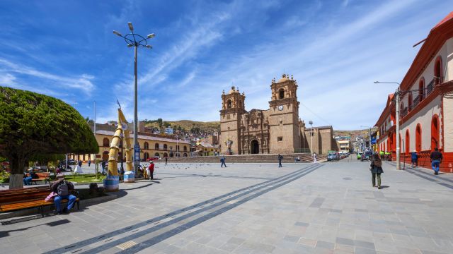
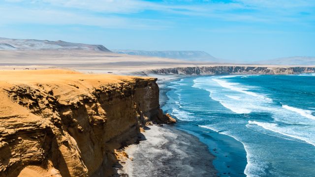
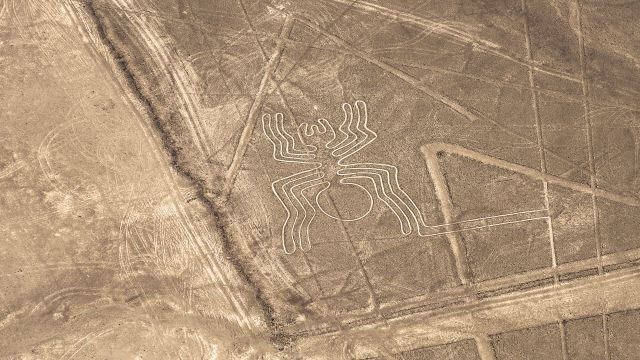
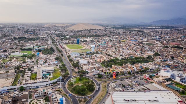
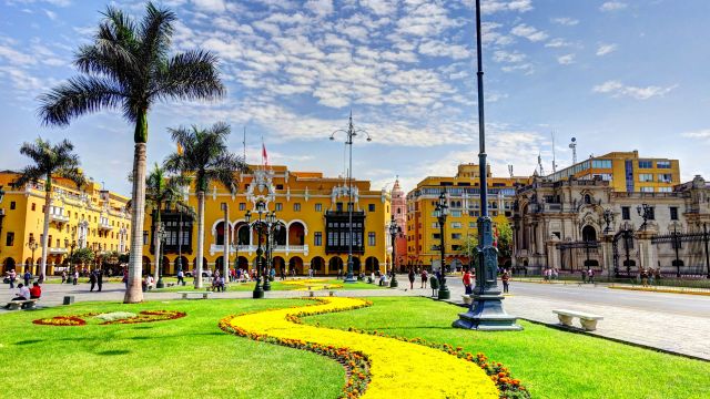
Popular destinations in Peru
Discover the climate of these popular destinations in Peru.


Friday
weather
max/min
precip
wind
uv
03:00

20°
1,0 mm
0
04:00

20°
1,5 mm
0
05:00
20°
1,0 mm
0
06:00
20°
0,2 mm
0
07:00
20°
0,2 mm
0
08:00

21°
0,1 mm
1
09:00

23°
0,1 mm
3
10:00
26°
1,2 mm
6
11:00
26°
1,2 mm
8
12:00
27°
1,2 mm
9
13:00
28°
0,7 mm
8
14:00

28°
0,5 mm
8
15:00
29°
0,2 mm
5
16:00
28°
0,1 mm
3
17:00
26°
0,0 mm
1
18:00

24°
0,0 mm
0
19:00
22°
0,2 mm
0
20:00
22°
0,2 mm
0
21:00

22°
0,1 mm
0
22:00
21°
0,8 mm
0
23:00
20°
0,9 mm
0
Saturday
weather
max/min
precip
wind
uv
00:00

20°
0,1 mm
0
01:00
20°
0,0 mm
0
02:00
20°
0,0 mm
0
03:00
20°
0,0 mm
0
04:00
20°
0,0 mm
0
05:00
19°
0,0 mm
0
06:00
19°
0,0 mm
0
07:00
19°
0,0 mm
0
08:00
22°
0,0 mm
2
09:00
26°
0,0 mm
4
10:00

30°
0,0 mm
6
11:00
32°
0,0 mm
8
12:00
33°
0,0 mm
9
13:00
33°
0,0 mm
9
14:00
34°
0,0 mm
8
15:00
33°
0,0 mm
7
16:00
33°
0,0 mm
5
17:00
29°
0,0 mm
2
18:00

26°
0,0 mm
0
19:00
24°
0,0 mm
0
20:00
23°
0,0 mm
0
21:00
22°
0,0 mm
0
22:00
22°
0,0 mm
0
23:00
22°
0,0 mm
0
Sunday
weather
max/min
precip
wind
uv
00:00
21°
0,0 mm
0
01:00
21°
0,0 mm
0
02:00
20°
0,0 mm
0
Average Weather in Camisea by Month
Click on a month below to see detailed weather info for Camisea. Based on historical weather data, you can see the average temperature, precipitation, wind, and UV index for each day of the month.