Hourly Weather in Interlaken
This graph shows the temperature for the next 48 hours in Interlaken, displayed in degrees Celsius.
![]() Scroll to see all the days
Scroll to see all the days
Check out the 10-day weather forecast for Interlaken
Hourly Precipitation in Interlaken
This graph shows the precipitation for the next 48 hours in Interlaken, measured in millimetres.
![]() Scroll to see all the days
Scroll to see all the days
Hourly UV Index in Interlaken
This graph shows the UV index for the next 48 hours in Interlaken.
![]() Scroll to see all the days
Scroll to see all the days
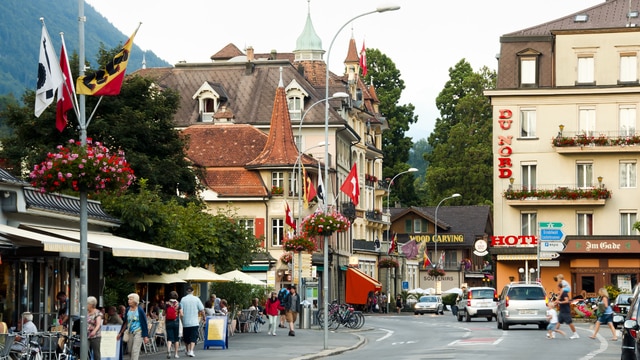
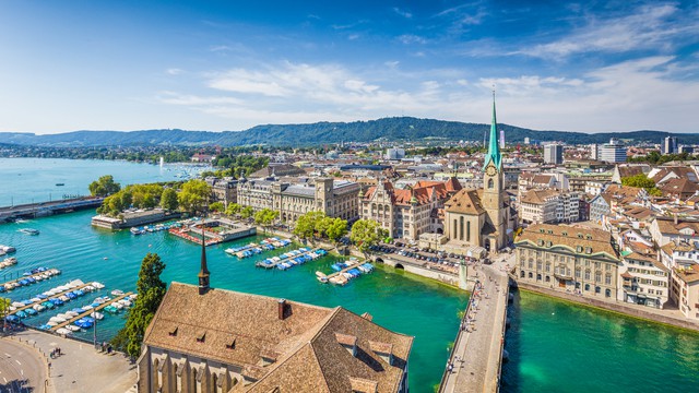
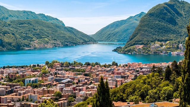
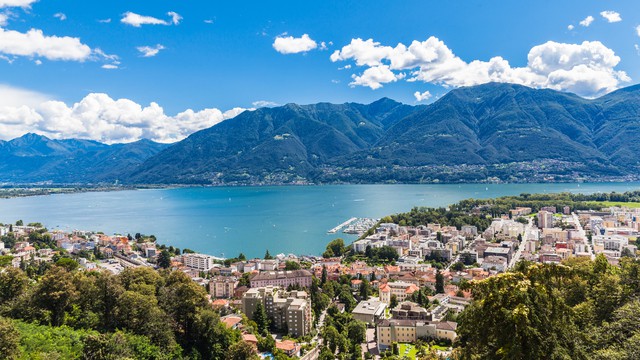
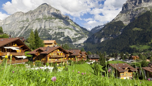
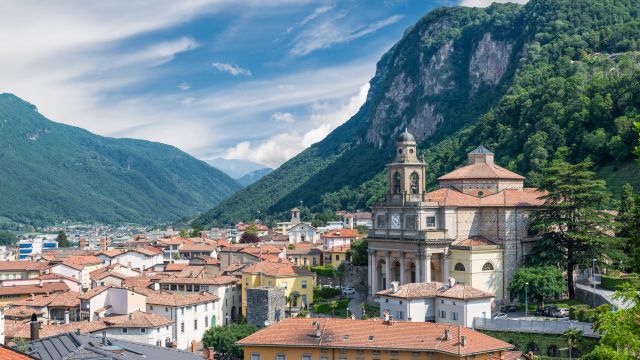
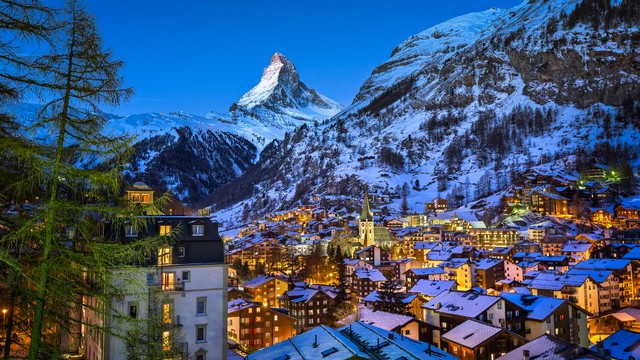
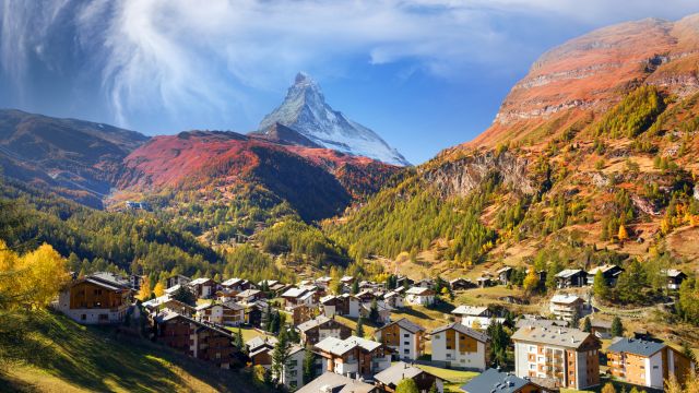
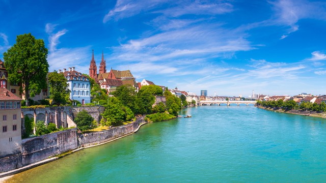
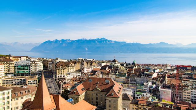
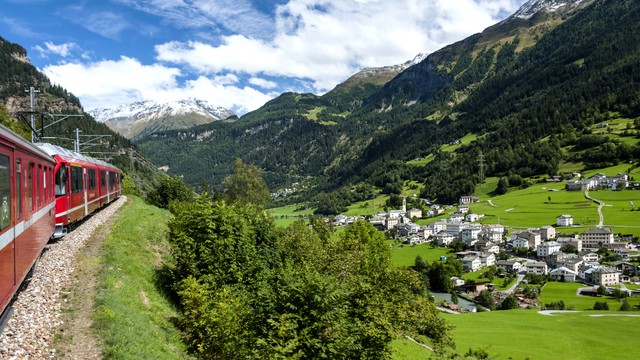
Popular destinations in Switzerland
Discover the climate of these popular destinations in Switzerland.


Saturday
weather
max/min
precip
wind
uv
14:00

20°
0,0 mm
8
15:00
20°
0,0 mm
9
16:00
20°
0,0 mm
6
17:00
20°
0,0 mm
5
18:00
20°
0,0 mm
4
19:00
20°
0,1 mm
2
20:00
19°
0,0 mm
1
21:00
18°
0,0 mm
0
22:00

16°
0,1 mm
0
23:00
16°
0,0 mm
0
Sunday
weather
max/min
precip
wind
uv
00:00
15°
0,0 mm
0
01:00
14°
0,0 mm
0
02:00
14°
0,0 mm
0
03:00

14°
0,0 mm
0
04:00

14°
0,0 mm
0
05:00
14°
0,0 mm
0
06:00
14°
0,0 mm
0
07:00
14°
0,0 mm
1
08:00
15°
0,0 mm
2
09:00
16°
0,0 mm
4
10:00
16°
0,0 mm
6
11:00
16°
0,0 mm
7
12:00
17°
0,0 mm
8
13:00

16°
0,2 mm
7
14:00
16°
0,1 mm
3
15:00
15°
0,3 mm
3
16:00
14°
0,9 mm
4
17:00
13°
0,7 mm
5
18:00
12°
0,6 mm
3
19:00
12°
0,8 mm
1
20:00
11°
1,9 mm
0
21:00
11°
1,0 mm
0
22:00
11°
0,7 mm
0
23:00

11°
0,2 mm
0
Monday
weather
max/min
precip
wind
uv
00:00
10°
0,2 mm
0
01:00
10°
0,6 mm
0
02:00
10°
0,4 mm
0
03:00
10°
0,1 mm
0
04:00
10°
0,9 mm
0
05:00
10°
1,9 mm
0
06:00
9°
2,4 mm
0
07:00
9°
0,1 mm
0
08:00
10°
0,0 mm
1
09:00
10°
0,0 mm
3
10:00
11°
0,0 mm
3
11:00
11°
0,1 mm
6
12:00

12°
0,4 mm
5
13:00
12°
0,5 mm
3
Average Weather in Interlaken by Month
Click on a month below to see detailed weather info for Interlaken. Based on historical weather data, you can see the average temperature, precipitation, wind, and UV index for each day of the month.
1
January
2
February
3
March
4
April
5
May
6
June
7
July
8
August
9
September
10
October
11
November
12
December
Or check out the climate of Interlaken for all months at once