Search Menu

The weather in Jungfrau Region for the next 30 days

This chart shows the temperature in Jungfrau Region for the next 30 days, displayed in degrees Celsius. The long-term weather forecast is based on the 14-day weather prediction and the average historical weather data for Jungfrau Region from the past 10 years. We take the changing climate into account, so you know what you can typically expect during this period.

Daily temperature for the next 30 days in Jungfrau Region

Swipe Scroll to see all the days

Check out the current weather in Jungfrau Region Arrow

Precipitation in Jungfrau Region for the next 30 days

This chart shows the precipitation in Jungfrau Region for the next 30 days, measured in millimetres. We base this on the current 14-day weather forecast, followed by the average daily precipitation over the past 10 years.

Daily precipitation for the next 30 days in Jungfrau Region

Swipe Scroll to see all the days

Snowfall in Jungfrau Region for the next 30 days

This chart shows the snowfall in Jungfrau Region for the next 30 days, measured in centimetres. This is also based on the weather forecast and the average daily snowfall over the past 10 years.

Daily snowfall for the next 30 days in Jungfrau Region

Swipe Scroll to see all the days

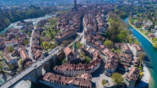
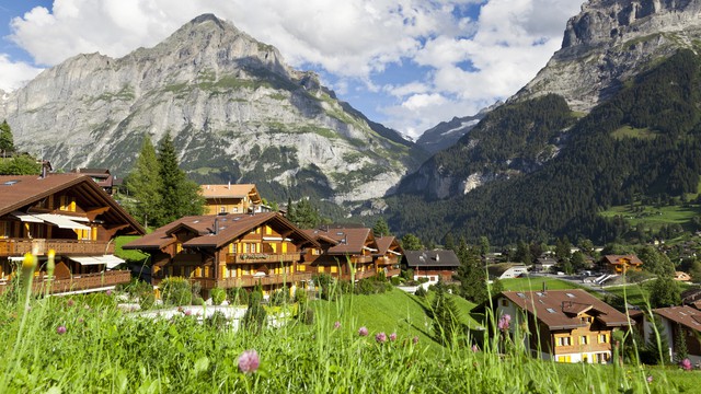
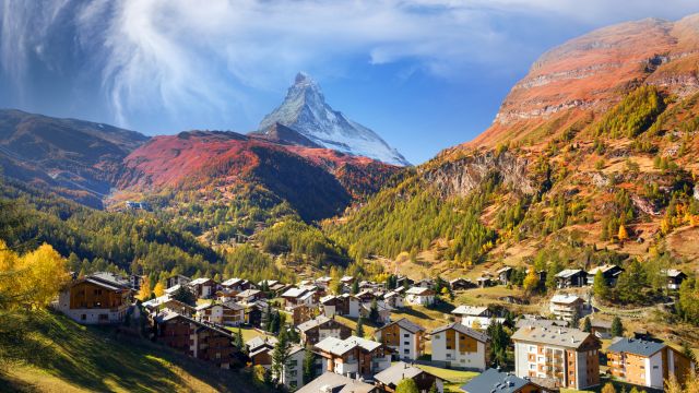
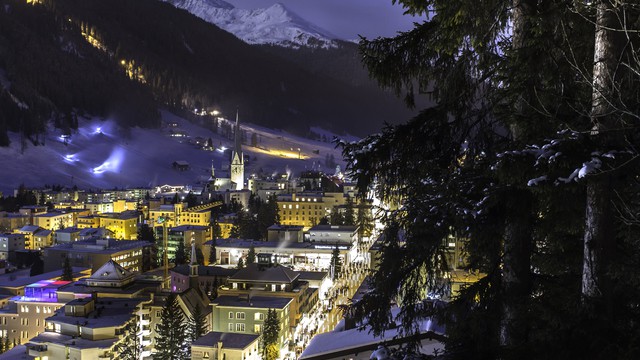
Popular destinations in Switzerland

Discover the climate of these popular destinations in Switzerland.

weather
max/min
precip
snow
wind
uv
Thursday 19 Sep
snow-showers-day
-1°
2,9 mm
0,9 cm
ZO 3
6
Friday 20 Sep
partly-cloudy-day
-2°
0,0 mm
0,0 cm
ZO 3
7
Saturday 21 Sep
showers-day
-1°
0,2 mm
0,0 cm
ZO 3
7
Sunday 22 Sep
cloudy
0,1 mm
0,0 cm
ZO 3
6
Monday 23 Sep
snow-showers-day
4,6 mm
0,4 cm
Z 3
6
Tuesday 24 Sep
showers-day
3,3 mm
0,0 cm
ZO 2
4
Wednesday 25 Sep
showers-day
0,6 mm
0,0 cm
ZO 2
6
Thursday 26 Sep
partly-cloudy-day
10°
0,0 mm
0,0 cm
ZO 2
6
Friday 27 Sep
showers-day
10°
1,5 mm
0,0 cm
ZO 2
6
Saturday 28 Sep
snow
-1°
24,4 mm
22,4 cm
NW 2
1
Sunday 29 Sep
partly-cloudy-day
-5°
0,0 mm
0,0 cm
ZO 2
7
Monday 30 Sep
cloudy
-1°
0,0 mm
0,0 cm
ZO 3
5
Tuesday 1 Oct
fog
8,2 mm
0,3 cm
Z 3
2
Wednesday 2 Oct
rain
0,5 mm
0,0 cm
ZW 2
5
Thursday 3 Oct
rain
0,2 mm
0,0 cm
ZO 3
4
Friday 4 Oct
showers-day
16°
1,7 mm
0,0 cm
W 3
6
Saturday 5 Oct
rain
17°
2,3 mm
0,0 cm
W 3
6
Sunday 6 Oct
rain
16°
3,5 mm
0,0 cm
W 3
5
Monday 7 Oct
rain
15°
2,5 mm
0,0 cm
W 2
5
Tuesday 8 Oct
showers-day
16°
0,8 mm
0,0 cm
Z 3
5
Wednesday 9 Oct
showers-day
16°
2,0 mm
0,0 cm
W 2
5
Thursday 10 Oct
showers-day
16°
1,1 mm
0,0 cm
W 3
6
Friday 11 Oct
showers-day
16°
1,4 mm
0,0 cm
NW 3
6
Saturday 12 Oct
showers-day
15°
0,7 mm
0,0 cm
ZW 2
5
Sunday 13 Oct
rain
15°
3,9 mm
0,0 cm
W 3
5
Monday 14 Oct
rain
15°
2,5 mm
0,0 cm
Z 3
5
Tuesday 15 Oct
rain
14°
3,6 mm
0,4 cm
ZW 3
5
Wednesday 16 Oct
showers-day
15°
0,2 mm
0,2 cm
ZW 2
5
Thursday 17 Oct
showers-day
15°
0,6 mm
0,0 cm
W 2
5
Friday 18 Oct
showers-day
15°
1,1 mm
0,0 cm
NW 2
5

Average Weather in Jungfrau Region by Month

Click on a month below to see detailed weather info for Jungfrau Region. Based on historical weather data, you can see the average temperature, precipitation, wind, and UV index for each day of the month.


Or check out the climate of Jungfrau Region for all months at once

Terug naar boven